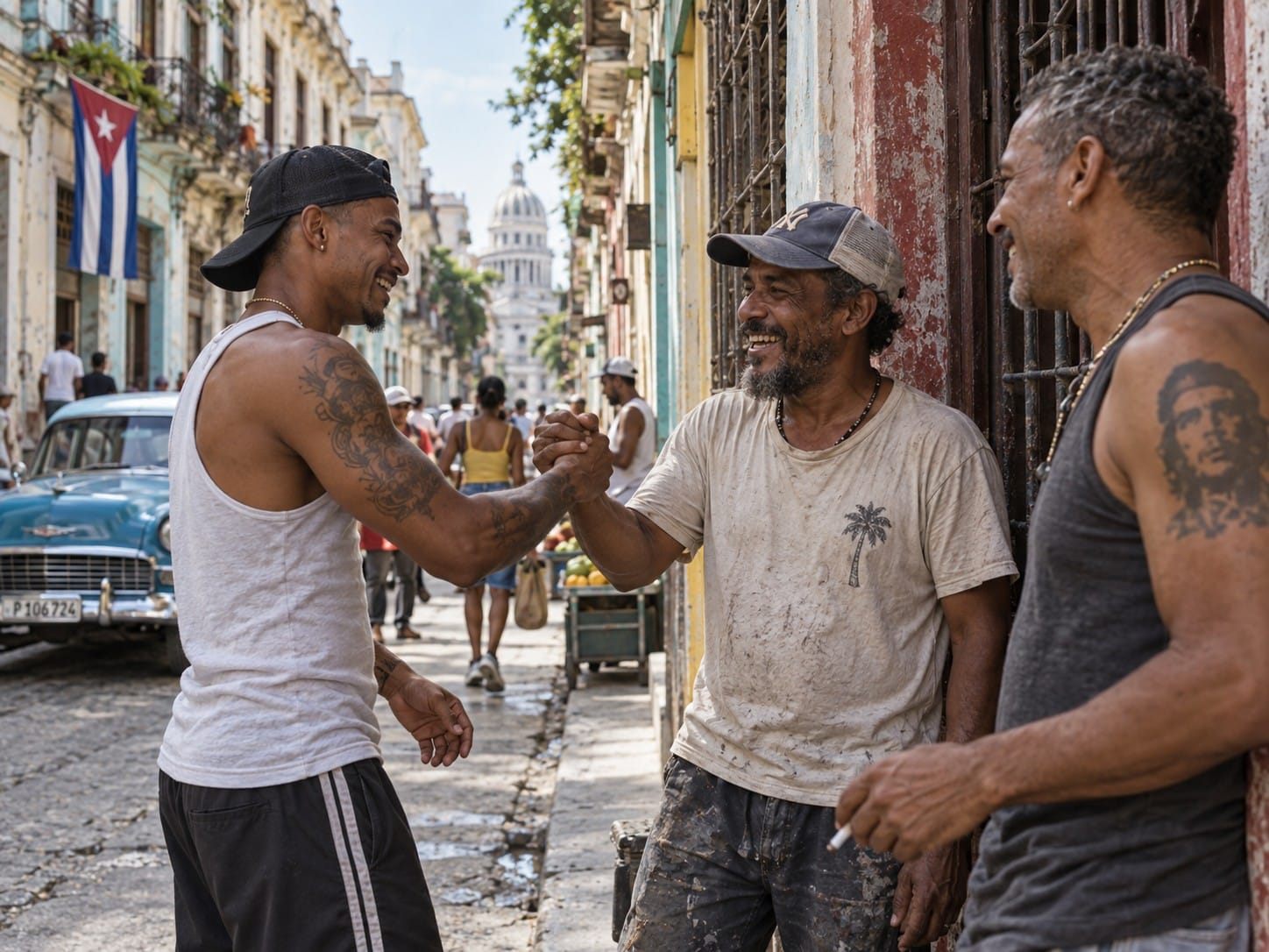
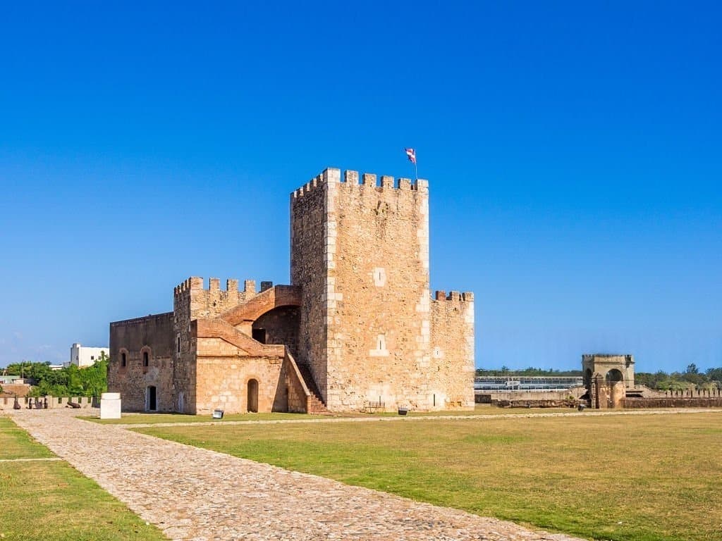
Caribbean society : this keyword opens up a prism that is often overlooked in regional analysis. Behind the images of turquoise waters and the tourist economy, the societal reality of the Caribbean is undergoing profound change. Digital connectivity, urbanization, aging, public health and cultural diversity – recent figures paint a much more nuanced picture. Between structural mutations and daily pressures, it’s time to take a closer look at what shapes the lives of 44.8 million inhabitants.
Aruba and the Caribbean digital revolution
The most connected island in the region
With an Internet penetration rate of 97,2 %, Aruba is the most digitized territory in the Caribbean. This impressive figure – derived from statista.com – illustrates the technological turnaround of a small island state that has become a veritable digital laboratory. Caribbean society cannot be thought of today without the massive impact of permanent connection, which is redefining uses, professions, education and social relations.
The island’s digital divide: a major social challenge
But the excellence of the Aruba region should not mask the disparities. The regional average hovers around 65 %, some of the more isolated islands and rural districts still suffer from a glaring lack of equipment. Caribbean society is thus traversed by a digital divide that sometimes exacerbates long-standing inequalities. Today, more than ever, access to administration, healthcare, employment and information depends on the quality of the connection.

Accelerated urbanization: an increasingly urban Caribbean
72% urban dwellers today, 80% in 2050?
According to data from sdg.iisd.org, 72 % of Caribbeans already live in cities. This proportion exceeds the world average and is expected to reach 80% by 2050. Caribbean society of each region has to rethink its urban model: density, transport, pressure on public services, housing, security….
Town versus country: new tensions, new solutions
Urban attractiveness leads to the abandonment of the countryside, where services are declining, schools are closing and jobs are becoming scarce. Yet these rural areas are crucial to food security and ecological balance. Caribbean Society is now faced with a challenge of territorial equity, where reclaiming the countryside could become a strategic priority.

Declining life expectancy: the profound impact of the pandemic
-2.9 years on average: a historic decline
According to CEPAL, the Covid-19 pandemic has caused a sharp drop in life expectancy in Latin America and the Caribbean: from 75.1 years in 2019 to 72.1 years in 2021 i.e. -2.9 years, the biggest decline in the world. This statistic weighs heavily in the analysis of the Caribbean society revealing a structural health vulnerability.
Health response and territorial resilience
Faced with this shock, several territories invested in modernizing their healthcare systems and in local training. Despite limited resources, the best-prepared islands have demonstrated astonishing resilience. However, the return to normalcy remains fragile, particularly in secondary island areas. This reality calls for an in-depth rethink of the health management of the Caribbean society.

44.8 million Caribbeans: a diversity that shapes the regional space
A fragmented but interconnected population
In 2024, the total population of the Caribbean is 44.8 million inhabitants, according to wikipedia.org. This human mosaic, spread over dozens of territories, is one of the key factors in understanding the Caribbean society. This is both a priceless asset and a challenge in terms of cohesion, mobility and regional integration.
Cultural identities and everyday challenges
Haitian Creole speakers, Jamaican Afro-descendants, Indo-Trinidadians, Cuban mestizos… the region’s multiple identities have given rise to a Caribbean Society both abundant and fragmented. This diversity is reflected in cultural practices, educational systems, political preferences and even economic models.

Towards a better understanding of Caribbean social realities
Indicators for action
The figures presented here are not simply abstract data. They are the foundations needed to understand Caribbean society in its real transformations, far from the images of Epinal. They highlight health emergencies, digital priorities, urban tensions and demographic hopes.
What public policies for tomorrow?
Investing in universal connectivity, planning controlled urbanization, strengthening healthcare services and promoting cultural plurality: these are just a few of the ways to make the Caribbean Society a regional model adapted to the challenges of the 21st century. But this requires courageous choices and strengthened regional cooperation.
Between silent pressures and visible mutations
Caribbean society doesn’t mean standing still. Behind the statistics lie fundamental transformations: the rise of digital technology, territorial imbalances, demographic pressures and health resilience. Despite their differences, the Caribbean states share similar trajectories, with social data shaping the challenges of tomorrow. To build a more equitable and stable region, we need to look beyond the numbers – without ever losing sight of them.