


Some writers describe their country to make it easier to love. Marlon James, on the other hand, does almost the opposite. He portrays Jamaica as a living, noisy, violent place that cannot be reduced to a postcard. Born in Jamaica in 1970, Marlon James has established himself as one of the leading Caribbean literary voices of his generation. In 2015, his novel A Brief History of Seven Killings wins the Man Booker Prize. He becomes the first Jamaican to receive this award. Behind the award, one question stands out: What happens when Kingston ceases to be merely a setting and becomes the center of the literary world? Kingston, Far from the Tourist Scene In Marlon James’s work, Jamaica is never just about reggae, the sea, or the sun. It is a city, voices, wounds, and anger. Above all, it is Kingston: a place where political history, working-class neighborhoods, music, and

The decision was signed in Brasília, but its effects will be felt along the banks ofthe Oyapock River. On Wednesday, July 1, 2026, France and Brazil adopted a roadmap aimed at strengthening their cooperation along the French Guiana border. In particular, the agreement provides for the suspension of the short-stay visa requirement for Brazilian nationals wishing to travel to French Guiana, effective July 31. On paper, this is an administrative measure. In reality, it touches on a more sensitive issue: that of a border long perceived by residents as close, yet complicated by regulations. For many Brazilians in Amapá, entering French Guiana has until now required a cumbersome process, even though family, business, and social ties exist on both sides of the river. An anomaly that is difficult to defend The France-Brazil announcement rectifies a situation often described as unfair. Brazilian nationals could travel to mainland France without a short-stay
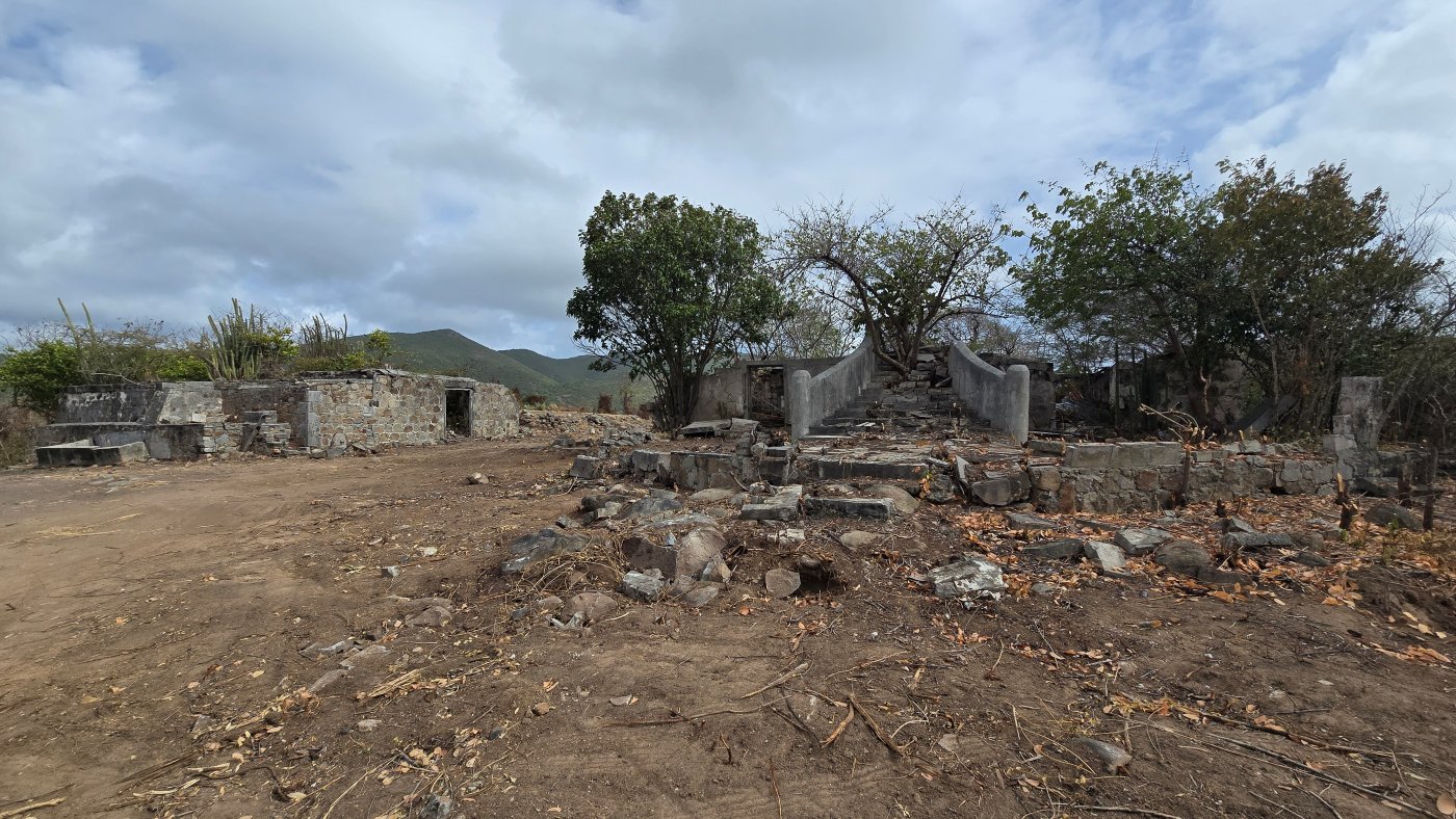
St. Maarten Emancipation Day takes on a special significance this year. On July 1, 2026, the official ceremony marking the 163rd anniversary of the abolition of slavery will be held at Belvedere Plantation, a site directly linked to the island’s history. More than just a commemoration, it is a reminder: freedom is conveyed not only through dates, but also through the places we choose to confront head-on. St. Maarten Emancipation Day in Belvedere: More Than Just a Setting At Belvedere Plantation, this July 1st doesn’t feel like a ceremony held at a random location. The government of Sint Maarten has announced that the official event will take place at this site on Oyster Pond Road from 8 a.m. to 10 a.m., featuring speeches, poetry, songs, cultural dances, guided tours, and a historical presentation of the site. This choice speaks volumes. Belvedere is not just a historic site. It is listed