
Kaieteur Falls: A single 226-meter drop in Guyana.

Kaieteur Falls

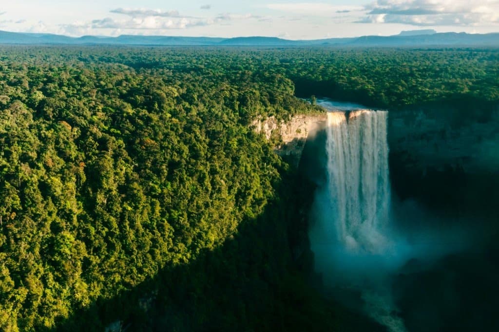
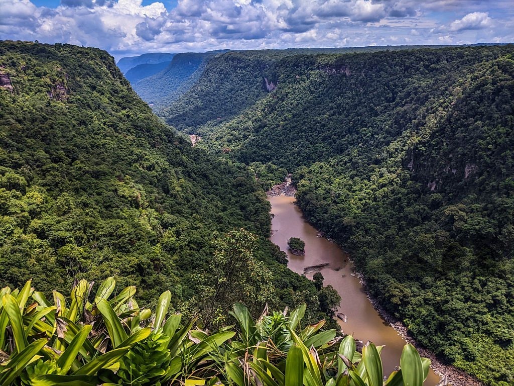
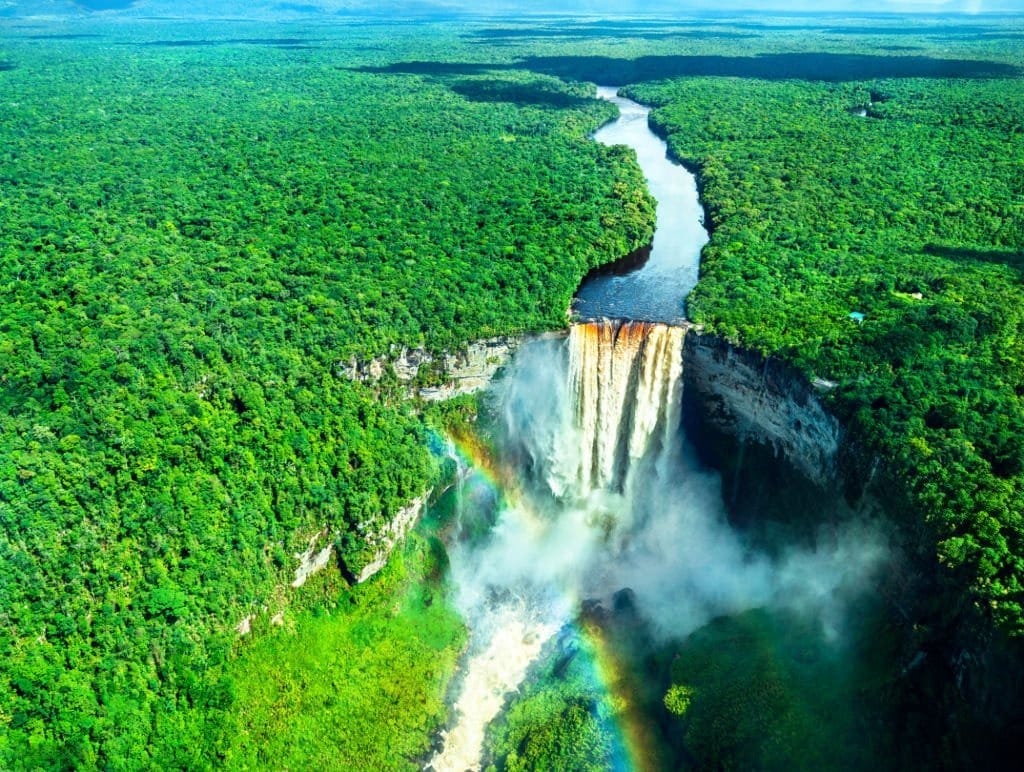
As the plane leaves Georgetown, the roads fade from view, the houses become tiny, and the forest eventually fills almost the entire horizon. Then, suddenly, a white break appears in this vast expanse of green. These are the Kaieteur Falls, where the Potaro River plunges 226 meters in a single drop. The sight is impressive not only for its height but especially for its surroundings: almost no man-made structures, just rock, forest, water, and open space.

Kaieteur Falls

Kaieteur Falls: 226 meters that put things into perspective

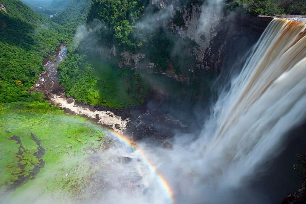
At 226 meters, or 741 feet, Kaieteur Falls is more than four times as high as Niagara Falls. Its uniqueness also lies in the combination of this height and the volume of water plunging from the plateau. Here, the Potaro River does not cascade down in a series of waterfalls. It flows through the landscape, suddenly reaches the escarpment, and then vanishes into a curtain of water, spray, and roaring sound.

This power gives the place a feeling that is difficult to capture in a photograph. From the viewing points, the eye is not drawn solely to the waterfall. It also takes in the rock faces, the mist rising from the pool, and the expanse of forest that seems to stretch on endlessly.

Kaieteur Falls
Kaieteur Falls
Kaieteur Falls
Kaieteur Falls

A waterfall in the heart of a landscape billions of years old

Kaieteur Falls are located in the Potaro-Siparuni region, within Kaieteur National Park. Established in 1929, the park now covers approximately 62,700 hectares. It lies on the Guiana Shield, a geological formation whose rocks are over two billion years old in some places.

This geological depth adds another dimension to the site. Kaieteur is not just a spectacular destination—it’s also a window into one of the oldest landscapes on the South American continent. In this part of Guyana, the tourist experience relies less on a series of activities than on coming face-to-face with the sheer scale of the landscape.

Kaieteur Falls
Kaieteur Falls

A place filled with stories

Long before the first Western accounts, Kaieteur Falls were known to the region’s Indigenous peoples, particularly the Patamona. Several oral traditions are associated with their name. One tells of a chief who chose to cross the falls in a canoe to protect his people. Another tells of an old man who was swept away by the waters. These stories should not be confused with established historical facts. Their significance lies elsewhere: they serve as a reminder that the place is also part of a cultural memory, and not just part of the history of tourism or exploration.

On April 29, 1870, British geologist Charles Barrington Brown reached the falls during an expedition. This date marks its entry into Western exploration history, but not its “discovery” in the strictest sense: local communities had known about Kaieteur for much longer.

A Living World to Explore Up Close

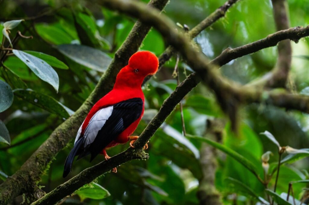
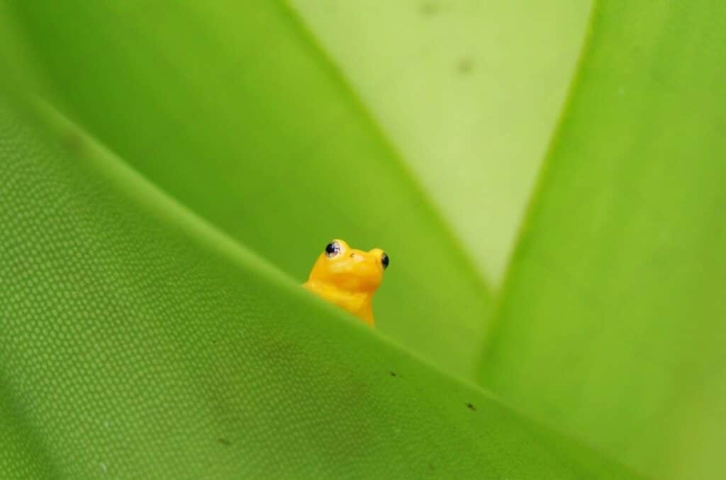
Around Kaieteur Falls, the spectacular can be found in just a few centimeters. The park is home to Anomaloglossus beebei, a small golden frog endemic to the area. It lives in close association with large bromeliads, whose leaves retain small reserves of water used for the development of tadpoles. Visitors can also spot the orange rock cock and Kaieteur swifts, which nest in the cliffs near the waterfall. This biodiversity serves as a reminder that the waterfall is not just an isolated attraction: it is the most visible part of a much larger ecosystem.

Kaieteur Falls
Kaieteur Falls

The experience of seeing Kaieteur Falls begins even before you arrive

For many visitors, the journey to Kaieteur Falls is part of the experience. Flights from Ogle Airport in Georgetown take about an hour. From the small planes, the urban landscape gradually gives way to rivers, then to the forest. Upon arrival, guided trails lead to several viewing points, including Rainbow View, Boy Scout View, and Johnson View. Each offers a different perspective: from one vantage point, the falls appear massive; from another, they seem almost suspended above the valley.

Perhaps that is where Kaieteur’s true strength lies. Its 226 meters are impressive, but they tell only part of the story. Kaieteur also reveals a Guyana that is forested, ancient, indigenous, and deeply connected to its wild landscapes. It is a destination that demands not only to be admired, but to be understood within the context of the land that gives it its full power.

Kaieteur Falls are located in Guyana, in the Potaro-Siparuni region, in the heart of Kaieteur National Park. They are formed by the Potaro River, in a vast tropical rainforest setting.

Kaieteur Falls is approximately 226 meters, or 741 feet, during their main jump. The Potaro River plunges almost straight down from the plateau, creating the impressive waterfall that can be seen today.

Kaieteur Falls are notable for their combination of height, powerful flow, and secluded forest setting. The site also has significant cultural importance, linked to indigenous traditions, and is home to remarkable biodiversity.

Leave a Reply

Your email address will not be published. Required fields are marked *

More articles from RK

Two men greeting each other with "Asere, qué bolá" in Havana
HISTORY & HERITAGE
Tolotra

“Asere, ¿qué bolá?”, the street greeting Obama dared to use in Cuba

“Asere, ¿qué bolá?”, this Cuban street greeting, was already in common use in Havana’s working-class neighborhoods long before a U.S. president adopted it as well. On Saturday, March 19, 2016, on the eve of the first presidential trip to the island in nearly nine decades, Barack Obama appeared in a Cuban TV sketch alongside Pánfilo, a comedic character well known to viewers on the island, and delivered a “qué bolá” that no one expected to hear from a U.S. head of state. The next day, upon setting foot in Havana, he did it again on Twitter: “¿Que bolá Cuba? Just touched down here.” In just a few hours, two words of Havana slang had bridged the gap between the street and the world of diplomacy. What does “Asere, ¿qué bolá?” mean? Taken literally, “asere” doesn’t really translate, and “qué bolá”—which comes from “bola,” meaning “ball”—doesn’t convey anything more literal than
Read More »
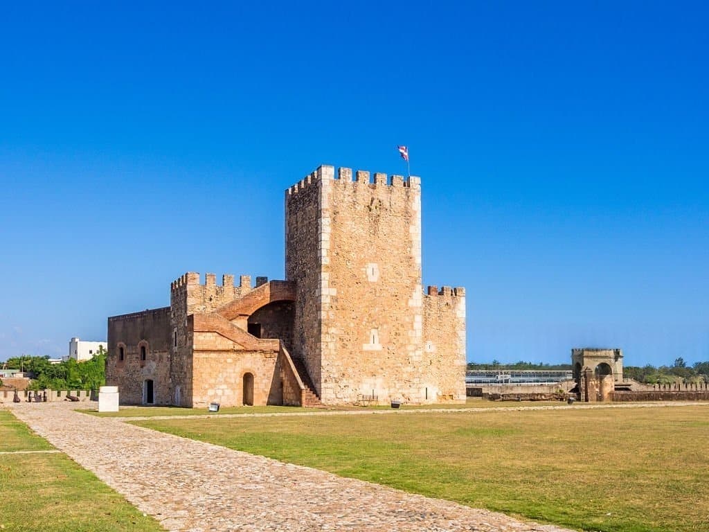
View of Fortaleza Ozama and its Torre del Homenaje tower, in Santo Domingo
HISTORY & HERITAGE
Tolotra

Fortaleza Ozama, the 1502 fortress where a nation was born

In Santo Domingo, on the banks of the Ozama River, the Fortaleza Ozama has weathered more than five centuries of Dominican history without ever falling into the hands of an attacker. It held the father of Dominican independence captive, served as a political prison under the Trujillo dictatorship, and withstood tank fire during the 1965 civil war. Now a UNESCO World Heritage Site, the oldest European-built fortress still standing in the Americas continues to preserve, almost intact, the memory of a nation. An arrival in chains, August 27, 1844 On August 22, 1844, Juan Pablo Duarte was arrested in Puerto Plata. Five days later, on August 27, he entered the Fortaleza Ozama in Santo Domingo. The government led by Pedro Santana had just declared him a traitor to the nation. Duarte, who had planned and led the young Dominican Republic to independence, was imprisoned in the dungeons of the Torre
Read More »
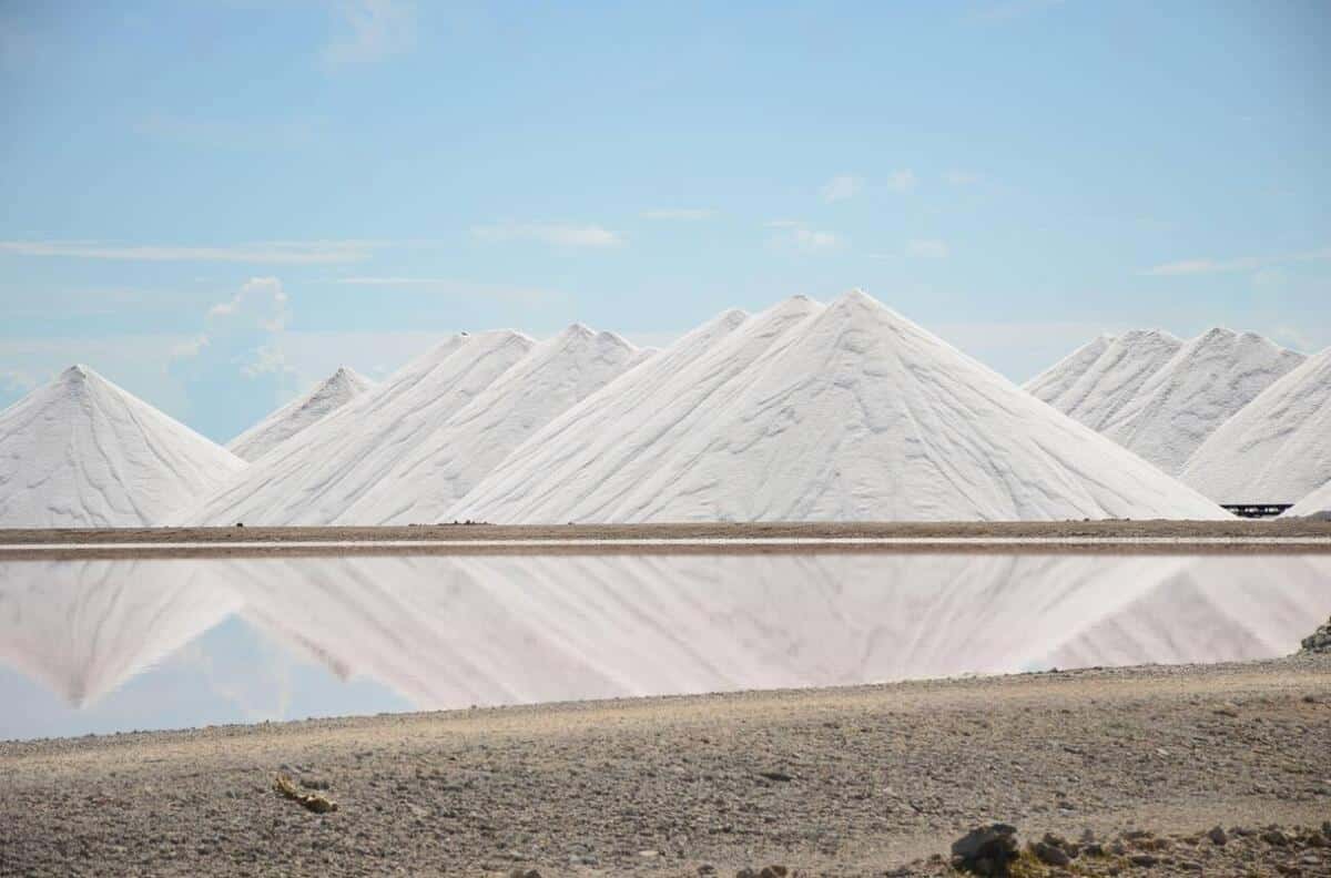
Bonaire salt marshes: pink ponds and white salt mountains in the south of the island
HISTORY & HERITAGE
Tolotra

Bonaire: 3,700 hectares of salt marshes conceal a history of slavery

At the southern tip of Bonaire, a Dutch-speaking island in the Caribbean, the salt marshes stretch out in pink and white basins across nearly 3,700 hectares—thirteen percent of the island’s total area. This postcard view, photographed every year by thousands of visitors from the coastal road, hides a history dating back more than five centuries, the story of salt that shaped Bonaire’s economy and, for two hundred years, the lives of hundreds of enslaved people. Along EEG Boulevard, which runs along the southern coast of Bonaire, mountains of white salt come into view kilometers before you reach them. Each contains about 10,000 metric tons of salt that is 99.6% pure, piled nearly 15 meters high, with up to 200,000 metric tons stored at any given time. Their whiteness, so intense that you need to keep sunglasses handy, stands in stark contrast to the pink of the neighboring pools. The salt

Read More »

conTACT RK

we'd love to have your feedback on your experience so far

Join The List

Join our Richès Karayib community!  Sign up for our newsletter.

Want To Maximize Your Business Presence On Riches Karayib?

Complete the form to start the application