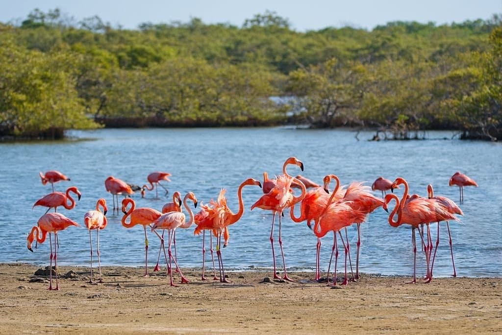


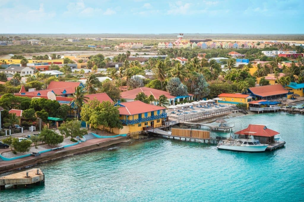
Bonaire welcomed 13,387 overnight visitors in June 2026, according to preliminary data from the Tourism Corporation Bonaire. Visitor numbers declined slightly by 1.6% year-over-year. The most revealing information, however, lies in the travelers’ countries of origin: the Netherlands, the United States, and Curaçao together accounted for 85.5% of arrivals. Bonaire’s visitor numbers remain close to 2025 levels In June 2026, the island welcomed 13,387 visitors, compared with 13,606 a year earlier. The difference amounts to 219 fewer arrivals. This variation remains limited, especially when viewed over a longer period: by June 2025, attendance had increased by 12,2 % compared to June 2024. The 2026 figure therefore reflects more of a stabilization following the sharp increase recorded the previous year. The 1.6% decline provides a useful point of comparison, while trends in the major markets offer a more accurate picture of visitor numbers. Three markets bring 11,445 visitors to Bonaire The
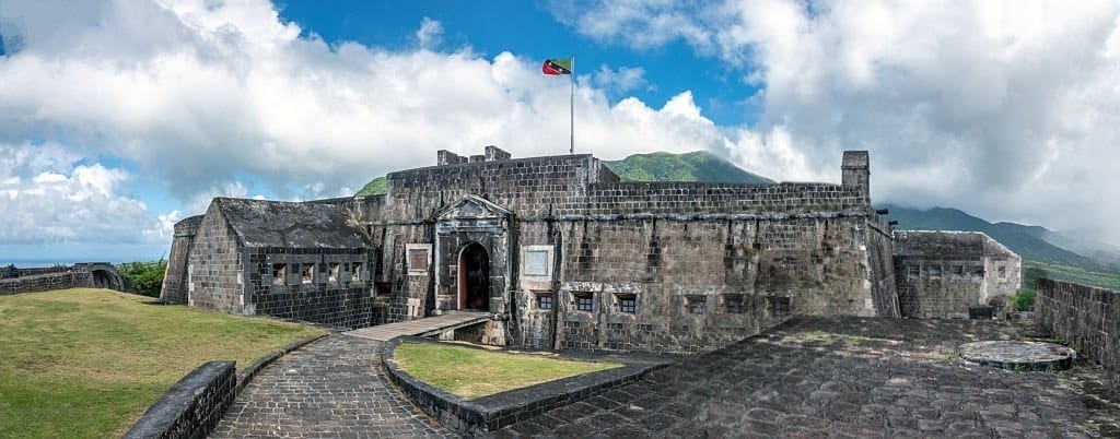
To the northwest of Saint Kitts, the walls of Brimstone Hill Fortress overlook the coast from a volcanic hill nearly 240 meters high. Behind the panoramic view lies a more complex history: that of a fortress designed by the British, built and maintained by enslaved Africans, and designated aUNESCO World Heritage Site in 1999. Brimstone Hill Fortress, a citadel perched atop a volcano As you climb Brimstone Hill, the sea comes into view between the steep slopes and the dark stone ramparts. From this natural vantage point, soldiers could observe the western coast of Saint Kitts and keep watch for the possible arrival of enemy ships. The location was far from insignificant. This volcanic hill, nearly 800 feet high, had steep, hard-to-access slopes. It thus offered a prime vantage point and a defensive refuge in the event of a naval attack. Nevertheless, the builders had to adapt their techniques to

Born in Barranquilla and now based in Toronto, Lido Pimienta has never had to choose between her home regions, her artistic disciplines, or her cultural heritages. On the eve of the release of Caribenya, her fourth studio album, tells the story of an artist who has transformed displacement, difference, and imposed labels into her own personal language. Lido Pimienta: A Voice That Defies Categorization In the video by “Tóxica”, the first track unveiled from Caribenya, the colors burst forth as the cumbia carries lyrics directed against toxic friendships. The track perfectly encapsulates Lido Pimienta’s approach: making people dance without sugarcoating what needs to be said. Her label describes the album as a work guided by connection, resistance, and the desire to break new sonic ground. This freedom did not come about through a linear journey. It took root in Barranquilla, a city on Colombia’s Caribbean coast, with a mother of