Dominican Republic – Samaná, a Caribbean peninsula between open sea and deep forests

Samaná

At the northeastern tip of the Dominican Republic, the Samaná peninsula is a land of its own. Here, geography imposes its own rhythm: a wide, protected bay, reliefs covered in rainforests, villages facing the sea. It’s not a destination designed for the accumulation of quick experiences, but a coherent space where nature, local life and tourism coexist without abrupt rupture.

A clearly defined territory

The Samaná peninsula juts out into the Atlantic, separated from the rest of the island by mountainous areas and roads that have long remained secondary. This relative isolation has helped preserve its character. The territory is organized around three main centers: Santa Bárbara de Samaná, the main port; Las Terrenas, more open to residential tourism; and Las Galeras, a more discreet coastal village at the eastern end. This configuration provides a rare legibility: each zone has its own function, without overshadowing the others. Visitors quickly understand how the peninsula is structured, and can move around without feeling saturated.

Samaná
@Godominicanrepublic
Samaná
@Godominicanrepublic

Samaná Bay, the heart of the sea

Samaná Bay is one of the central features of the region. Wide and relatively sheltered, it plays a major economic and ecological role. It is also one of the Caribbean’s best-known sites for seasonal sightings of humpback whales, which come here to breed between January and March. Beyond this aspect, the bay is the backdrop to daily life: fishing, shipping links, small ports and wharves set the pace for local activity. For travelers, it offers a visual and practical anchorage point, with open seascapes and a direct relationship between the city and the water.

Samaná
@Godominicanrepublic
Samaná
@Godominicanrepublic

Forests, rivers and waterfalls

The interior of the peninsula contrasts sharply with the coastline. The relief is covered with tropical rainforests, criss-crossed by rivers and trails. The El Limón waterfall, accessible from various routes, illustrates this natural wealth: a waterfall fed from the heights, amid dense vegetation. These spaces are a reminder that Samaná is not just a seaside destination. The peninsula retains a balance between inhabited areas, farmland and natural environments, which are still very much present just a few kilometers from the beaches.

Samaná
@Godominicanrepublic

Open, non-standardized beaches

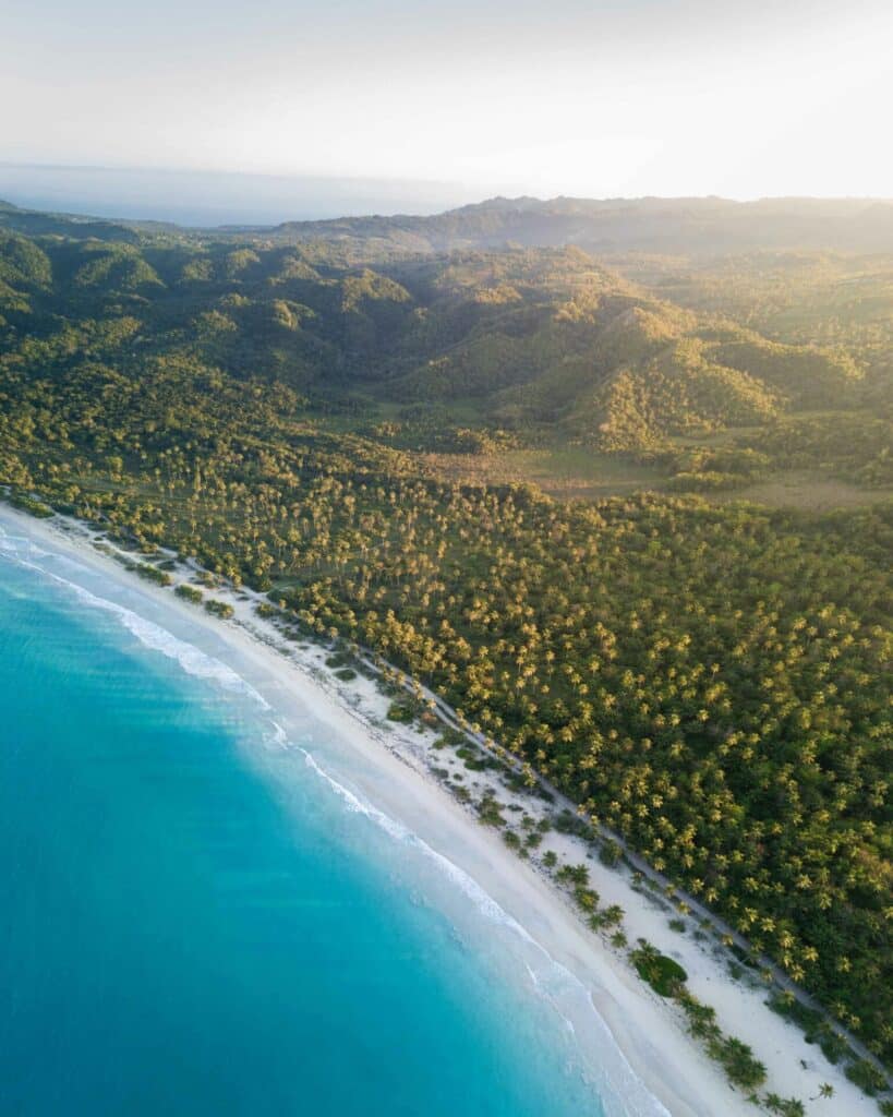
The coastline offers a wide variety of beaches: long stretches lined with coconut palms, narrower coves, areas exposed to the Atlantic and quieter areas. In Las Terrenas, the beaches are easily accessible and integrated into local life. In Las Galeras, they become wilder, often far from the main roads. The absence of large, continuous built-up fronts helps to preserve a sense of space. The beaches remain predominantly public and are used by locals and visitors alike, contributing to a natural, uncluttered atmosphere.

Samaná
@Godominicanrepublic
Samaná
@Godominicanrepublic

Visible local life

Unlike some highly specialized Dominican tourist areas, Samaná leaves plenty of room for everyday life. Markets, local transport, artisanal fishing and village festivals are all part of the landscape. Tourism is present, sometimes sustained, but it does not erase local practices. This cohabitation gives the area a clear identity. Visitors are not isolated in an enclosed space: they share places, roads and beaches with a population that lives here all year round.

Samaná

Access and organization

Today, it is more accessible than ever before, thanks to renovated roads and the El Catey international airport, located on the western side of the peninsula. Transfers to the main tourist areas are by road, through agricultural and forested landscapes. The territory lends itself to both fixed stays and gradual discovery: a few days in Santa Bárbara de Samaná, followed by a trip to Las Terrenas or Las Galeras, will enable you to grasp the different facets of the peninsula.

Another view of the Dominican Republic

Putting Samaná in the spotlight means proposing a different reading of the Dominican Republic. Less urban than Santo Domingo, less standardized than some seaside resorts, the peninsula offers a territorial model based on continuity between nature, sea and villages. For travellers in search of a structured, legible Caribbean territory still deeply rooted in its landscapes, it is a solid destination. It doesn’t promise permanent exceptionalism, but a rare coherence that can be appreciated over time.

📸 ©Godominicanrepublic / Dominican Republic Tourism – Official Website

It lies in the north-east of the Dominican Republic, jutting out into the Atlantic and bordered by the bay of the same name.

The peninsula combines beaches, forests and active villages, with tourism that is present but not exclusive, leaving plenty of room for local life.

December to April is the busiest period, with a drier climate. From January to March, the bay is home to humpback whales.

Leave a Reply

Your email address will not be published. Required fields are marked *

More articles from RK

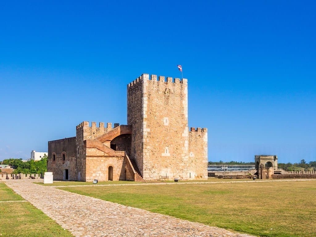
View of Fortaleza Ozama and its Torre del Homenaje tower, in Santo Domingo
HISTORY & HERITAGE
Tolotra

Fortaleza Ozama, the 1502 fortress where a nation was born

In Santo Domingo, on the banks of the Ozama River, the Fortaleza Ozama has weathered more than five centuries of Dominican history without ever falling into the hands of an attacker. It held the father of Dominican independence captive, served as a political prison under the Trujillo dictatorship, and withstood tank fire during the 1965 civil war. Now a UNESCO World Heritage Site, the oldest European-built fortress still standing in the Americas continues to preserve, almost intact, the memory of a nation. An arrival in chains, August 27, 1844 On August 22, 1844, Juan Pablo Duarte was arrested in Puerto Plata. Five days later, on August 27, he entered the Fortaleza Ozama in Santo Domingo. The government led by Pedro Santana had just declared him a traitor to the nation. Duarte, who had planned and led the young Dominican Republic to independence, was imprisoned in the dungeons of the Torre
Read More »
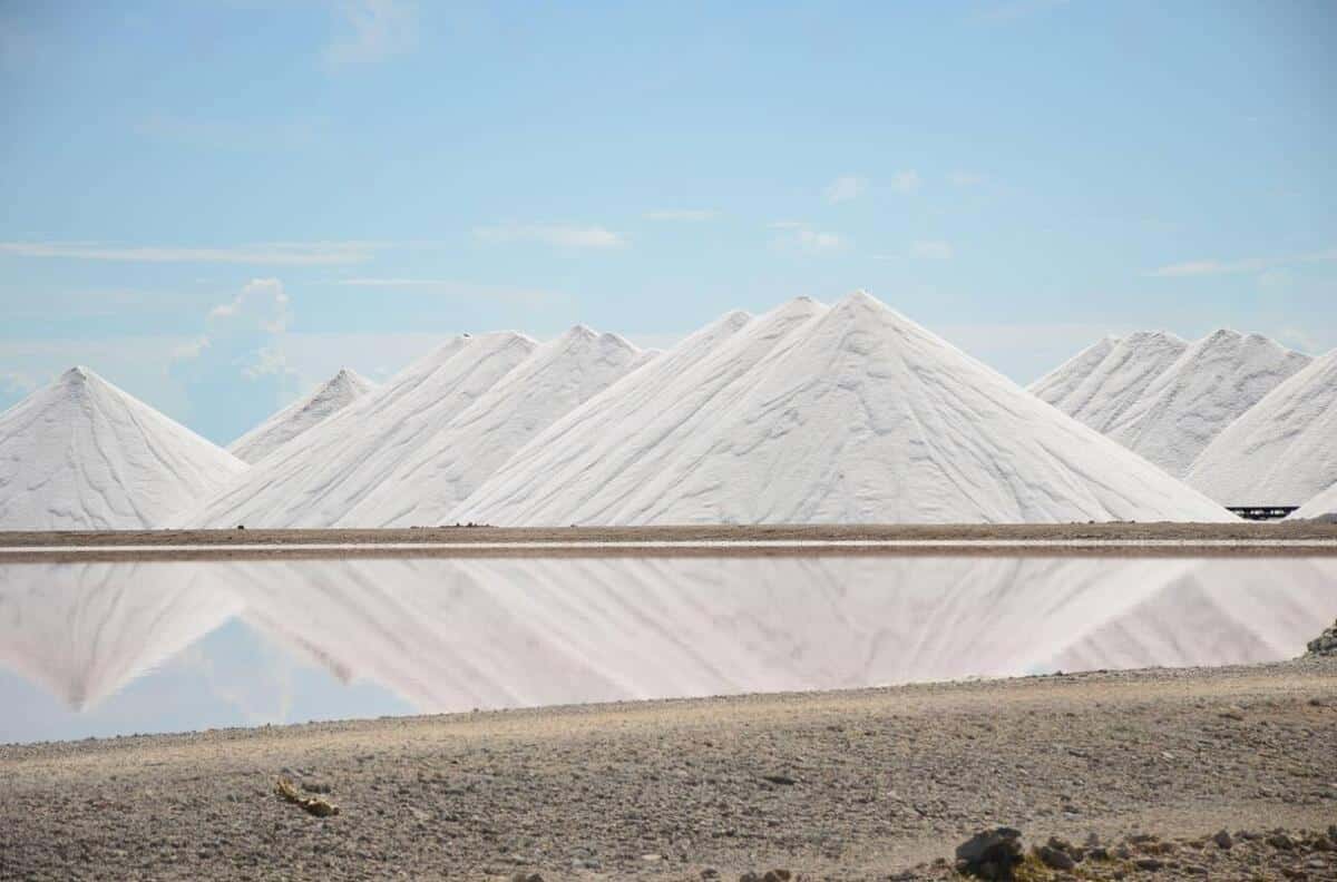
Bonaire salt marshes: pink ponds and white salt mountains in the south of the island
HISTORY & HERITAGE
Tolotra

Bonaire: 3,700 hectares of salt marshes conceal a history of slavery

At the southern tip of Bonaire, a Dutch-speaking island in the Caribbean, the salt marshes stretch out in pink and white basins across nearly 3,700 hectares—thirteen percent of the island’s total area. This postcard view, photographed every year by thousands of visitors from the coastal road, hides a history dating back more than five centuries, the story of salt that shaped Bonaire’s economy and, for two hundred years, the lives of hundreds of enslaved people. Along EEG Boulevard, which runs along the southern coast of Bonaire, mountains of white salt come into view kilometers before you reach them. Each contains about 10,000 metric tons of salt that is 99.6% pure, piled nearly 15 meters high, with up to 200,000 metric tons stored at any given time. Their whiteness, so intense that you need to keep sunglasses handy, stands in stark contrast to the pink of the neighboring pools. The salt
Read More »
Journées européennes du patrimoine 2026
EVENT MANAGEMENT
Tolotra

European Heritage Days 2026: Martinique Opens Its Archives.

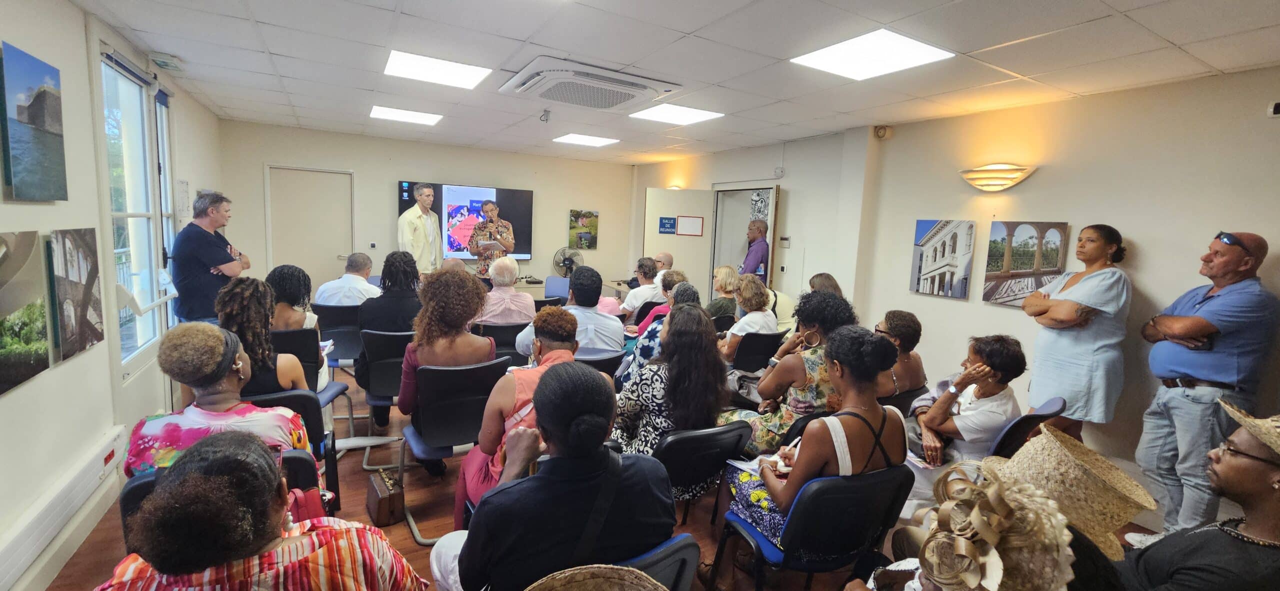
On September 15, at 5 p.m., the conference room of Martinique’s Cultural Affairs Department is already packed. Journalists, cultural leaders, organizations, artists, and heritage professionals have gathered to find out what the 43rd edition has in store. With just four days to go before the 2026 European Heritage Days , scheduled for September 19 and 20, this press conference already feels like a journey across Martinique—from its Creole huts to its lighthouses, from Saint-Pierre to the monuments we sometimes pass by without really noticing them. European Heritage Days 2026: A Lively Conference Johan-Hilel Hamel, Martinique’s director of cultural affairs, opened the meeting without putting on airs. He even warned that the evening would not be a long monologue. The conversation quickly began to flow. A representative from Les Trois-Îlets speaks, followed by Xavier Nicolas from the Directorate of the Sea, Philippe Villard from the Heritage Foundation, Florence Le Gal from
Read More »

conTACT RK

we'd love to have your feedback on your experience so far

Join The List

Join our Richès Karayib community!  Sign up for our newsletter.

Want To Maximize Your Business Presence On Riches Karayib?

Complete the form to start the application