

The Ingenios Valley, northeast of Trinidad, covers 225 km². In 1827, more than 50 sugar mills were in operation there, and more than 11,000 people were working as slaves. A brick tower still towers over these fields, bearing witness to that era. Seven levels of brick and lime mortar, with a plan that transitions from square to octagonal, standing over 43 meters tall. The Manaca Iznaga Tower is visible from afar. Alejo María del Carmen Iznaga y Borrell had it built in the early decades of the 19th century on an estate purchased in 1795 by his father, Pedro José Iznaga, and which he inherited in 1831. It served as a bell tower and a lookout post, towering over the fields. The bell marked the passing of the days, and the view took in the crops. A local legend tells of two brothers who are said to have challenged each

The history of Caribbean cinema now moves into the 2000s and 2010s. After seven installments and several decades of filmmaking, this eighth installment brings together three films from Guadeloupe and the Dominican Republic, each exploring individual journeys that serve as gateways to broader social realities. *Nèg Maron* explores the lives of urban youth in Guadeloupe. *La Hija Natural* follows a young woman who sets out to find her father in the Dominican Republic. *Le Bonheur d’Elza* also tells the story of a family quest that takes its main character all the way to Guadeloupe. You are now on the eighth episode out of ten. The first seven are already available on Richès Karayib. After this one, there will be two more episodes to explore the most contemporary Caribbean cinema. 2005: GUADELOUPE – *NÈG MARON*, BY JEAN-CLAUDE BARNY Nèg Maron is the film of a generation. Starring two Guadeloupean dancehall stars,
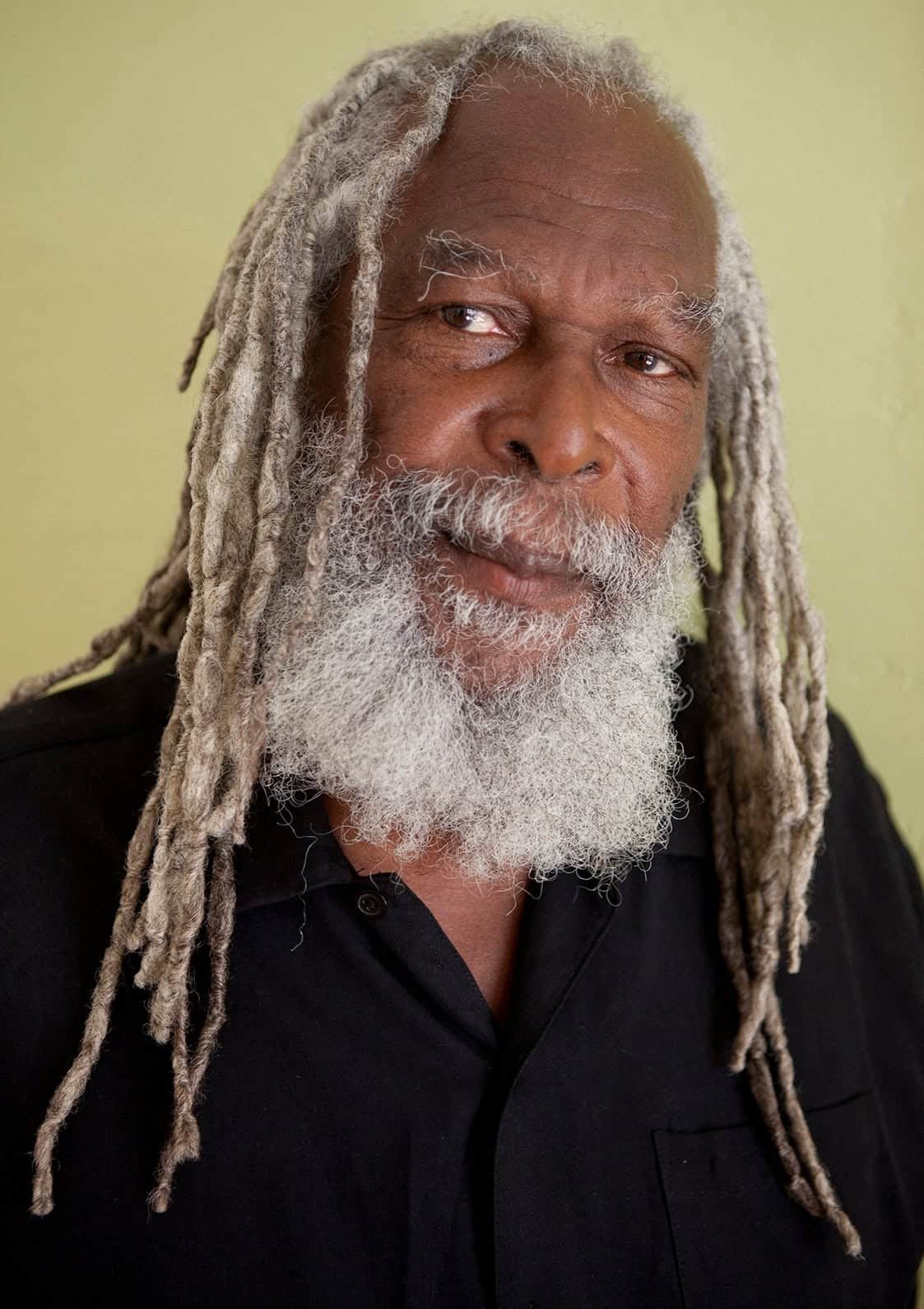
Bob Andy, born Keith Anderson in Kingston in 1944, is one of Jamaica’s greatest songwriters. He wrote “I’ve Got to Go Back Home” in 1967, reached number five on the British charts in 1970 with Marcia Griffiths, and was awarded the Order of Distinction in 2006. His career, however, began on the streets. Bob Andy, a homeless child from Kingston As a child, Bob Andy had neither a stable home nor a real school. He would later describe himself as a runaway who was practically homeless, sleeping rough in Rockfort, Kingston. Placed in the Maxfield Park children’s home, he taught himself to play the piano and sang in the choir at Kingston Parish Church. This education, though he never earned a diploma, would remain a source of pride for him. It was in the choir that the young Keith Anderson befriended Tyrone Evans. Together, they formed a vocal group, the