Founded in 1511, Baracoa was Cuba’s first colonial city. Yet it wasn’t until December 1965 that it gained a modern road connection to the rest of the country. The 454 years between these two dates tell the story of a geography that protected, slowed, and profoundly shaped the identity of the “Ciudad Primada.”
A road suspended between the mountain and the precipice
On La Farola, the drive never feels like just an entry into the city. The road clings to the slopes of the Sagua-Baracoa mountain range, winds through a series of curves, and overlooks valleys covered in vegetation. For drivers, every turn serves as a reminder of the same fact: reaching Baracoa by land was long a challenge.
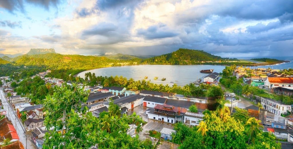
The city is located at the eastern tip of Cuba, between the Atlantic Ocean and a mountainous range that is difficult to cross. This location has given it spectacular scenery, but it has also limited overland travel for centuries. Baracoa was not cut off from the world: the sea, trails, and local trade maintained connections. However, it lacked a continuous road network comparable to those in the rest of the island.
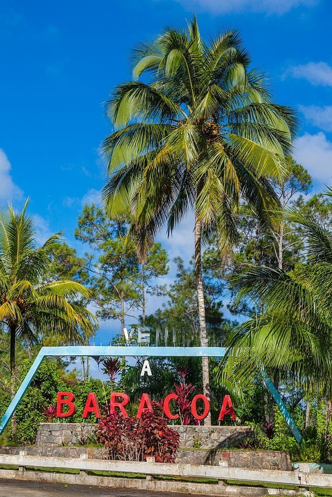
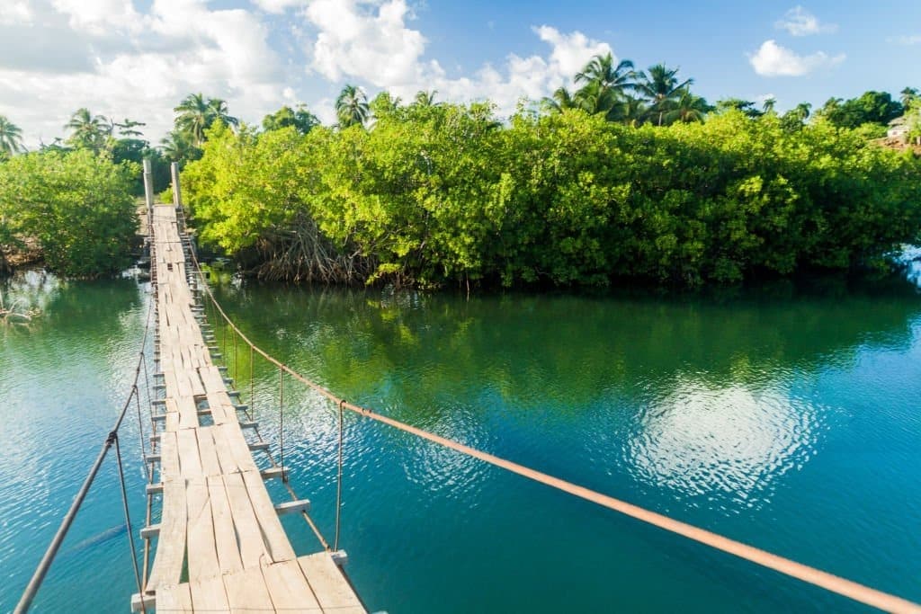
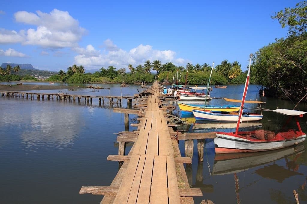
1511: Cuba's first city
Diego Velázquez founded Nuestra Señora de la Asunción de Baracoa in 1511. Official Cuban sources describe it as Cuba’s first town, first capital, and first episcopal see. It also retains its original location, another unique feature among the island’s earliest Spanish settlements.
This status might have led one to imagine a city that would quickly become a hub of national trade. History took a different turn. After colonial power shifted to other cities, Baracoa remained isolated behind its mountains. Its coastal presence remained essential, while its hinterland developed its own agricultural, dietary, and cultural practices.
This relative isolation helped, in particular, to strengthen the role of cacao and coconut in the local economy. Even today, these crops are closely associated with Baracoa, right down to its recipes and rural landscapes.

36 kilometers built in 20 months
The transition began in April 1964. Construction on the La Farola Viaduct began to create a road through the mountain range. The project spanned 36 kilometers and was completed in December 1965, after twenty months of work. Construction crews are facing steep slopes, ravines, heavy rains, and landslides. Some operations are carried out on steep slopes, with limited space for heavy equipment. The challenge, therefore, is not just to build a road, but to maintain a stable course through a wet and rugged mountain.
In 1997, La Farola was named one of the seven wonders of Cuban civil engineering. This recognition captures its technical significance, but not its full human significance. The road finally established a regular land connection between Baracoa, Guantánamo, and the rest of the country. It facilitates the movement of people, goods, and services, without negating the constraints of the terrain.


Biodiversity that also explains isolation
The mountains surrounding Baracoa are not merely an obstacle. They are part of one of the most remarkable natural areas in the Caribbean. The Cuchillas del Toa Biosphere Reserve covers 208,305 hectares, including 6,013 hectares of marine area. UNESCO has identified 928 endemic species there. These figures offer a different perspective on La Farola. The road crosses a region whose inaccessibility has likely helped preserve exceptional ecosystems. While opening up the area has made Baracoa more accessible, it has also raised a long-term question: How can we improve mobility without compromising what makes the region unique?


What 454 Years Have Left Behind in Baracoa
La Farola has changed Baracoa’s relationship with Cuba, but it has not turned the city into just another tourist destination. Its architecture, agricultural traditions, relationship with the sea, and mountainous surroundings still bear the marks of a history shaped far from the major thoroughfares.
Perhaps that is the real takeaway. Baracoa didn’t just wait for a road for 454 years. During that time, it developed an identity strong enough to survive its opening to the outside world. Sixty years after La Farola, the challenge is no longer simply to reach the city. It is to figure out how to better connect it without diminishing the unique character that its isolation helped shape. This has become a central issue for its cultural and environmental future.
Baracoa is considered Cuba’s first colonial city, as it was founded in 1511 under the name Nuestra Señora de la Asunción de Baracoa. It was also the island’s first capital and one of its earliest administrative and religious centers. However, its location between the Atlantic Ocean and the mountains of eastern Cuba limited its development by land for several centuries.
La Farola is a mountain road built between 1964 and 1965 to connect Baracoa to the rest of Guantánamo Province and Cuba. Approximately 36 kilometers long, it winds through rugged terrain marked by ravines, steep slopes, and heavy rainfall. Its opening put an end to Baracoa’s long-standing isolation from the rest of the country and facilitated the movement of people, services, and goods.
Baracoa offers insight into how centuries of isolation have shaped a unique local identity. The city is particularly known for its cacao, coconuts, historic architecture, and mountainous surroundings. Travelers can also explore La Farola, take in the views dominated by El Yunque, and discover a region near the Cuchillas del Toa Biosphere Reserve.